


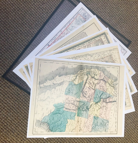

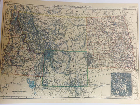
Reproductions. Set of 6 Maps plus informational page to accompany 1880 map. Maps measure 10" wide x 12" tall on nice cardstock ready for framing. Earliest 1868 Territory Map features northwestern Wyoming border following the Wind River Mountains rather than current Longitude lines. 1889 Territory Map has the northwestern border as we now know it. 1880 Territory map is same as oversize map offered, including information pages. 1896 State map is Wyoming how she looked just six years into statehood. (see oversize offered). This Map Set is interesting to anyone who enjoys following Western History and a reminder to all of us how maps reflect political opinions of the era. Whoever had the money to commission the maps could mandate how the "lines were drawn"! Shipped flat in a nice presentation folder.