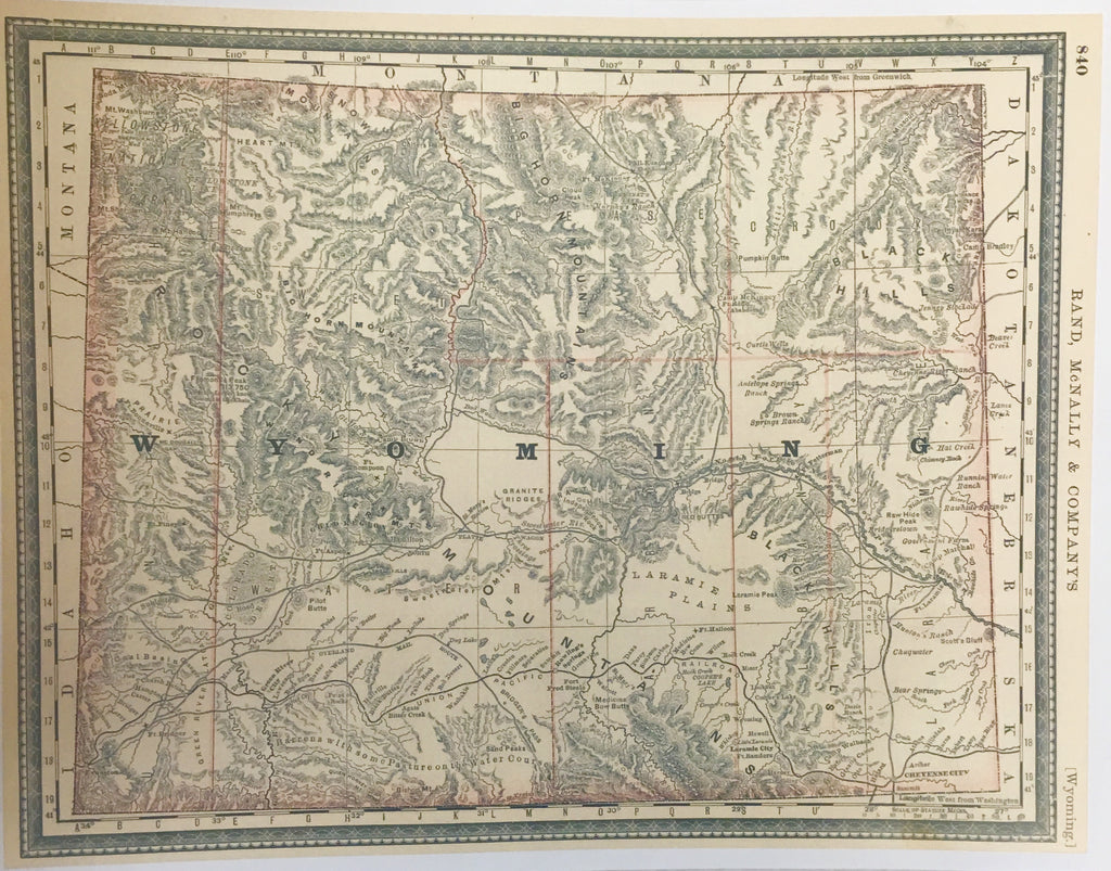
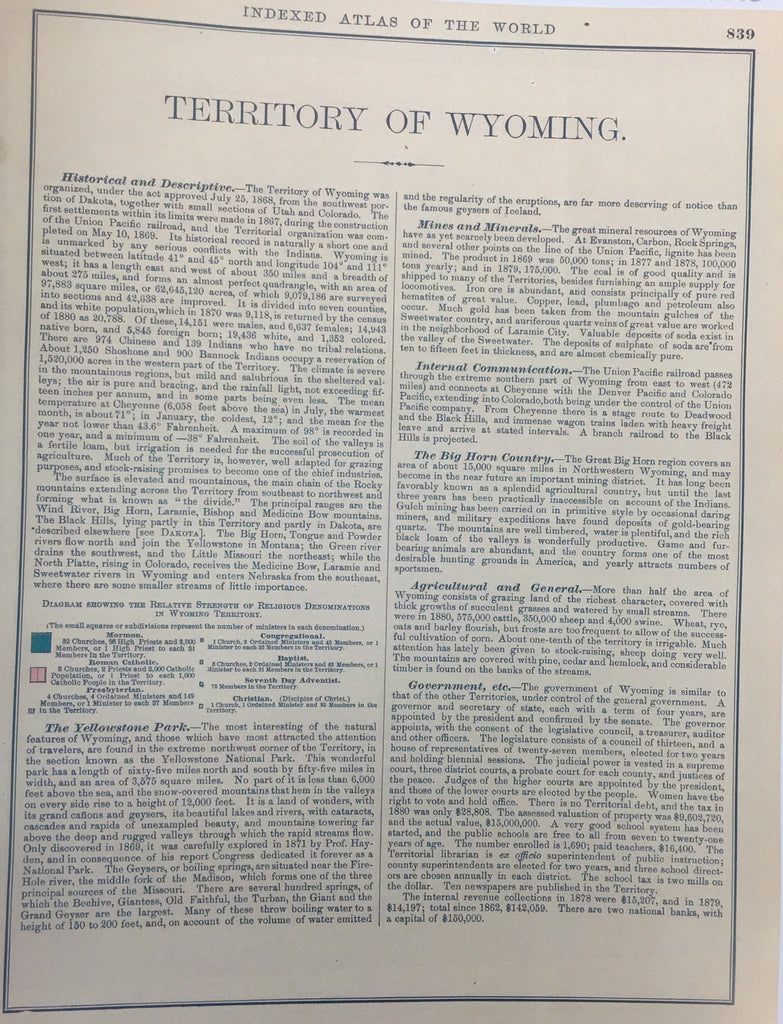
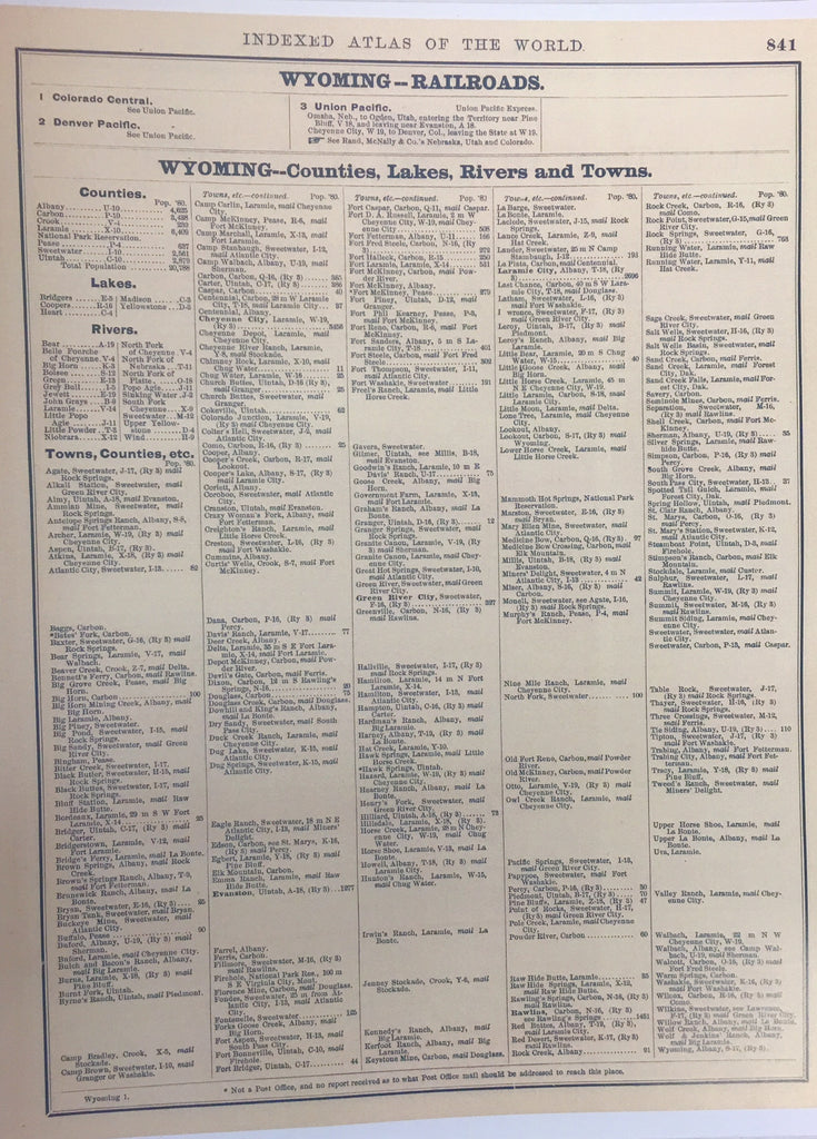
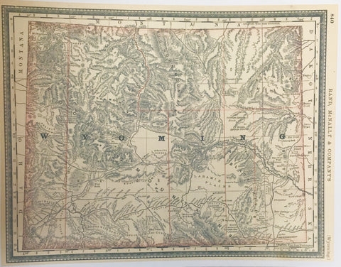

Reproduction. Nice partner to 1896 Wyoming State Map. 32" wide x 23" tall printed on nice cardstock, ready for framing. Interesting County divisions that did not make it thru to the Statehood Map of 1896. Railroads, Stagecoach routes, rivers, mountain ranges, river crossings all clearly marked. Towns, ranches, Post Offices, Army Forts all marked. Information pages accompany this map to include interesting details about the Territory at that time. A fascinating piece of history for anyone interested in the West. Framed in black frame